18.8 km | 21 km-effort
rando les Montils /seur/les montils
Annick Guillier
User
Length
14.8 km
Max alt
99 m
Uphill gradient
117 m
Km-Effort
16.4 km
Min alt
65 m
Downhill gradient
111 m
Boucle
Yes
Creation date :
2020-03-17 14:48:21.892
Updated on :
2020-03-17 17:34:07.626
2h44
Difficulty : Very easy
FREE GPS app for hiking
About
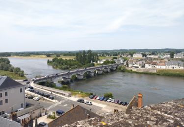
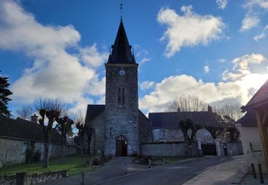
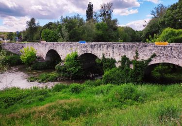
Trail Walking of 14.8 km to be discovered at Centre-Loire Valley, Loir-et-Cher, Les Montils. This trail is proposed by Annick Guillier.
Positioning
Country:
France
Region :
Centre-Loire Valley
Department/Province :
Loir-et-Cher
Municipality :
Les Montils
Location:
Unknown
Start:(Dec)
Start:(UTM)
371617 ; 5261521 (31T) N.
Comments
Trails nearby
Vignoble et Cisse - Chouzy sur Cisse
Mountain bike
Medium
(2)
Valloire-sur-Cisse,
Centre-Loire Valley,
Loir-et-Cher,
France
1h 30min
Yes
BBR 2024-07-30 Candé-sur-Beuvron Valaire Boucle 15 Km
Walking
Medium
(1)
Candé-sur-Beuvron,
Centre-Loire Valley,
Loir-et-Cher,
France
15.2 km | 17.2 km-effort
3h 54min
Yes
E Candé sur Beuvron à Montlouis sur Loire
Bicycle tourism
Easy
Candé-sur-Beuvron,
Centre-Loire Valley,
Loir-et-Cher,
France
47 km | 52 km-effort
3h 26min
No
seur, cande sur beuvron, madon, chailles,la haye,la boissiere,seur
On foot
Medium
(1)
Seur,
Centre-Loire Valley,
Loir-et-Cher,
France
26 km | 29 km-effort
6h 34min
Yes
seur fougères sur bievre
Walking
Medium
Seur,
Centre-Loire Valley,
Loir-et-Cher,
France
21 km | 23 km-effort
4h 0min
Yes
BBR 2024-03-27 Ouchamps 15 km
Walking
Medium
Le Controis-en-Sologne,
Centre-Loire Valley,
Loir-et-Cher,
France
14.7 km | 16.3 km-effort
1h 14min
Yes
Randonnée au départ de Candé sur Beuvron
Walking
Medium
Candé-sur-Beuvron,
Centre-Loire Valley,
Loir-et-Cher,
France
26 km | 29 km-effort
6h 3min
Yes
seur.cande sur beuvron.chailles.seur
Walking
Difficult
Seur,
Centre-Loire Valley,
Loir-et-Cher,
France
27 km | 30 km-effort
5h 16min
Yes
reconnaissance BBR aux Allees
Walking
Very easy
Candé-sur-Beuvron,
Centre-Loire Valley,
Loir-et-Cher,
France
45 km | 52 km-effort
6h 27min
No